MAPS OF GARIEP DAM AREA
MAPS OF GARIEP DAM AREA
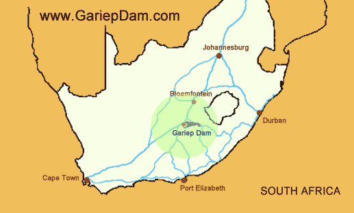
Gariepdam’s central location in SA.
Directions
Halfway between Johannessburg and Cape Town and next to the N1 you will find the biggest dam in South Africa called Gariep Dam. 180km south of Bloemfontein and 40km away from Colesberg. When having a colser look at the map you will discover that we are also on your way to Port Elizabeth.
Gariep Dam Area illustrative map
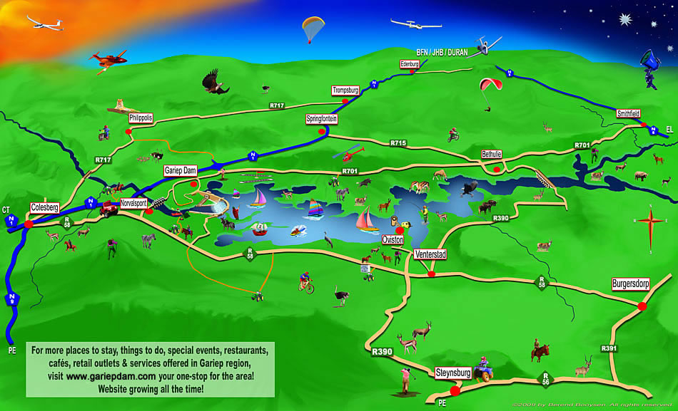
Gariepdam Map
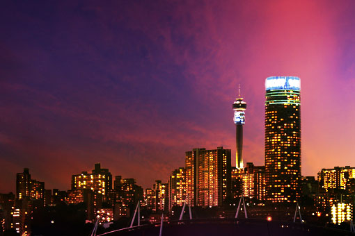
Sunset from Gariepdam town.
More information
Gariepdam Google Map
Created by:
www.eapproach.co.za / berend@eapproach.co.za
Take note: It is hard work to keep all the data on this site accurate and therefore it is your responsibility to confirm that the info is accurate.
Use all information on this site at own risk. If you find information that needs to be updated, please contact us immediately.
Photos and site © 2023 by tourism photographer BerendPhotography.com
Use all information on this site at own risk. If you find information that needs to be updated, please contact us immediately.
Photos and site © 2023 by tourism photographer BerendPhotography.com